The most powerful Pacific storm of the season started barreling into the Sierra Nevada on Thursday, packing multiple feet of snow and dangerous winds that forecasters say will create blizzard conditions likely to close major highways and trigger power outages into the weekend.
Much of the Sierra Nevada was under a blizzard warning stretching through Sunday, with the biggest effects expected Friday afternoon into Saturday.
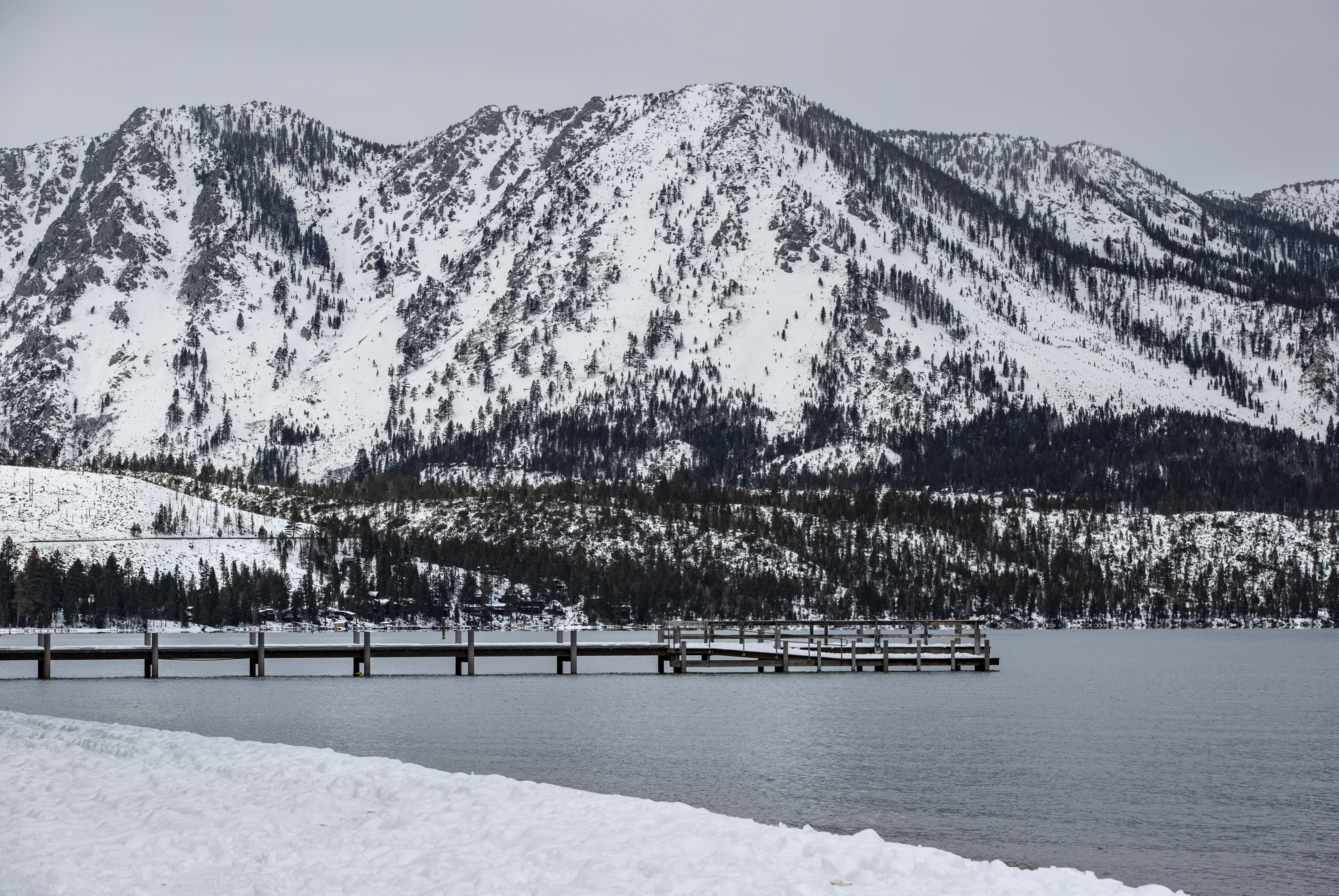
As much as 10 feet of snow is possible in the mountains around Lake Tahoe by the weekend, forecasters say.
Widespread blowing snow with winds gusting up to 100 mph over Sierra ridgetops will create blizzard conditions with white-out conditions and near-zero visibility, making travel “dangerous to impossible” Friday into Saturday morning, when the heaviest snow is expected, the National Weather Service said.
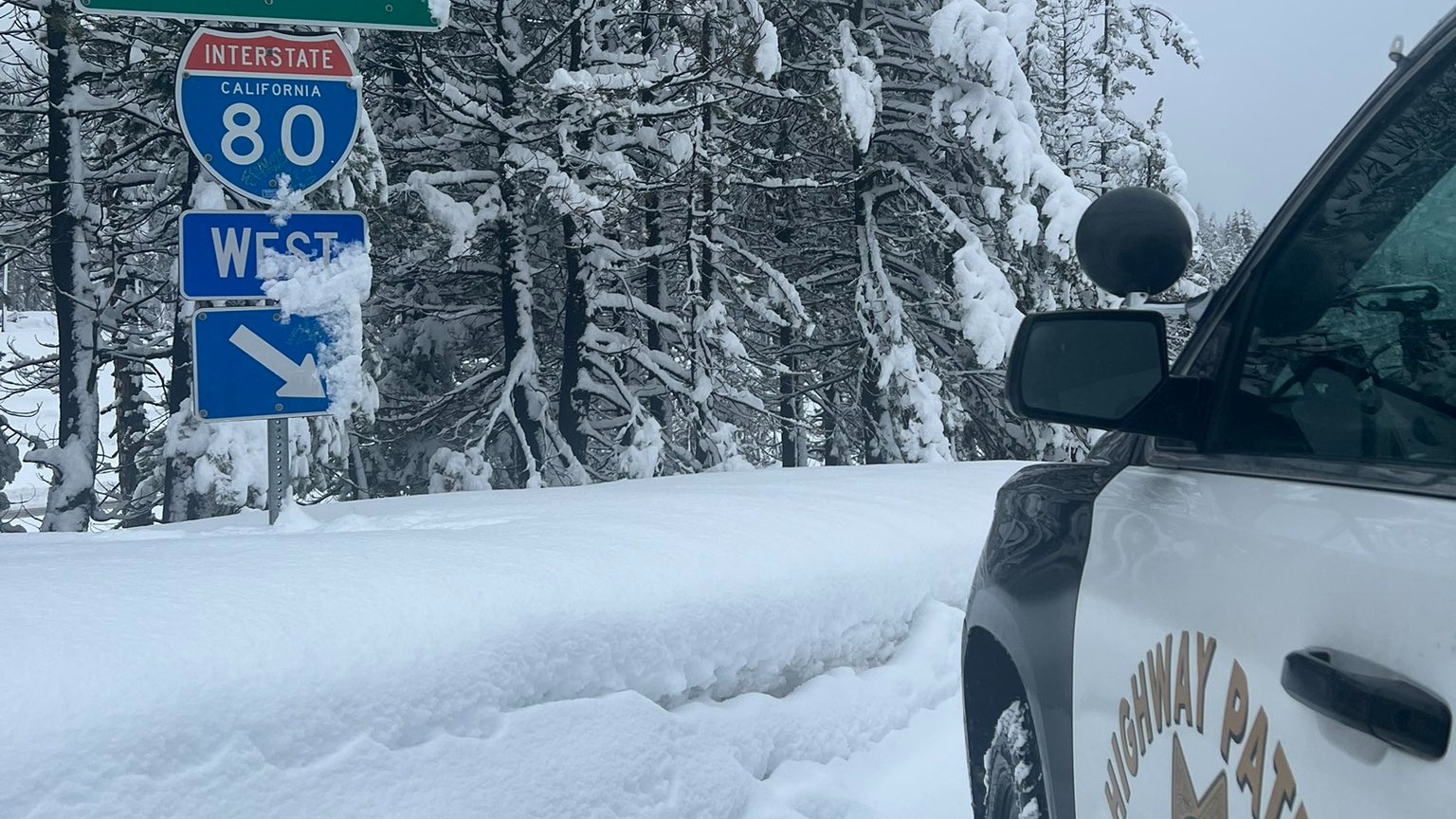
Chain controls, under which drivers are required to put chains on their tires, were ordered Thursday on Interstate 80 in the mountains north of Lake Tahoe. A stretch of the highway was temporarily closed while crews cleared the wreckage of a semi-trailer truck that overturned near Truckee as snow began to fall. There were no immediate reports of any serious injuries.
Farther south, the Eastern Sierra Avalanche Center in Mammoth Lakes, California, issued a backcountry avalanche watch for the mountains just north of Yosemite National Park to the south near Bishop, about 250 miles north of Los Angeles.
“Very dangerous avalanche conditions are expected from Friday afternoon through Sunday,” the center said Thursday.
On the bright side, California water officials said the storm should provide a much-needed shot in the arm to the Sierra snowpack, which is vital to the state’s water supplies and sits well below normal so far this season.
Get a weekly recap of the latest San Francisco Bay Area housing news. Sign up for NBC Bay Area’s Housing Deconstructed newsletter.
Tahoe-area ski resorts were making preparations for weekend visitors expected to flock to the snowy slopes. But they warned the storm could cause temporary or even day-long closures off and on into Sunday.
“There will be slick roads, reduced visibility, and closures on mountain passes that are pretty much guaranteed,” Palisades Tahoe spokesman Patrick Lacey said.
Todd Cummings decided to drive from Santa Cruz to the Lake Tahoe area ahead of the storm to be able to ski in fresh powder with few people around. He said he planned to hunker down during the blizzard and then hit the slopes.
“When a storm comes in, people have a tough time getting there, so there’s sometimes less crowds on the mountains and there is untracked, fresh snow that it’s super light and you float on it. It’s fantastic!” he said.
The blizzard warning covers a 300-mile stretch of the Sierra from north of Lake Tahoe to south of Yosemite National Park effective until 10 a.m. Sunday.
Between 2 and 4 feet is expected in towns along Tahoe’s shore and 5 to 10 feet at the highest elevations with winds gusting in excess of 100 mph over Sierra ridgetops, the weather service said. Road closures and power outages are likely.
“Do not take this storm lightly,” the weather service in Reno warned.
Potential snow totals vary under different scenarios, but the National Weather Service’s Weather Prediction Center in College Park, Maryland, said there’s little doubt “March will be coming in like a lion for the West Coast states.”
The lead scientist at a snow lab atop the Sierra said it’s possible they could break their modern-day record of about 3.5 feet of snow in a single day from back in 1989.
“It’s a very serious storm for us,” Andrew Schwartz said Wednesday from UC-Berkeley’s Central Sierra Snow Lab, founded in 1946 in Soda Springs, California, northwest of Lake Tahoe.
Kristi Anderson, a waitress at The Gateway Cafe in South Lake Tahoe, California said she’s already filled up her gas tank and was stocking up on food and firewood.
“I’m hoping not a lot of people travel here because the roads will be really bad,” she said.
Others remain skeptical.
Richard Cunningham said he’s heard before about forecasts for the storm of the century that didn’t materialize since he moved from Las Vegas to Reno in 1997.
“Same story, different day,” he said Wednesday. “Sometimes it doesn’t even snow.”
But Schwartz, the Sierra snow lab scientist, said he’s been watching the computer models over the past two weeks and, if anything, thinks the National Weather Service’s snowfall predictions are conservative.
California Department of Water resources officials said Thursday that the Sierra Nevada snowpack stood at 80% of average to date but only 70% of the typical April 1 peak.
“The results today show just how critical this upcoming month is going to be in terms of our water supply outlook for the upcoming year,” said hydrometeorologist Angelique Fabbiani-Leon in a briefing at Phillips Station, a snowpack-measuring location south of Lake Tahoe.
The current wet season started late, and many storms hit hard on the Southern California coast rather than in the Sierra. They were also warm, resulting in rain rather than snowfall in lower elevations of the mountain range.
“The good news is that we have a big storm starting here through the weekend and it will be a cold one, our first big cold storm of the year, and it will be a good snow producer,” said Andy Reising, a water resources engineer.
Associated Press reporter John Antczak contributed to this report from Los Angeles. Rodriguez reported from San Francisco.


