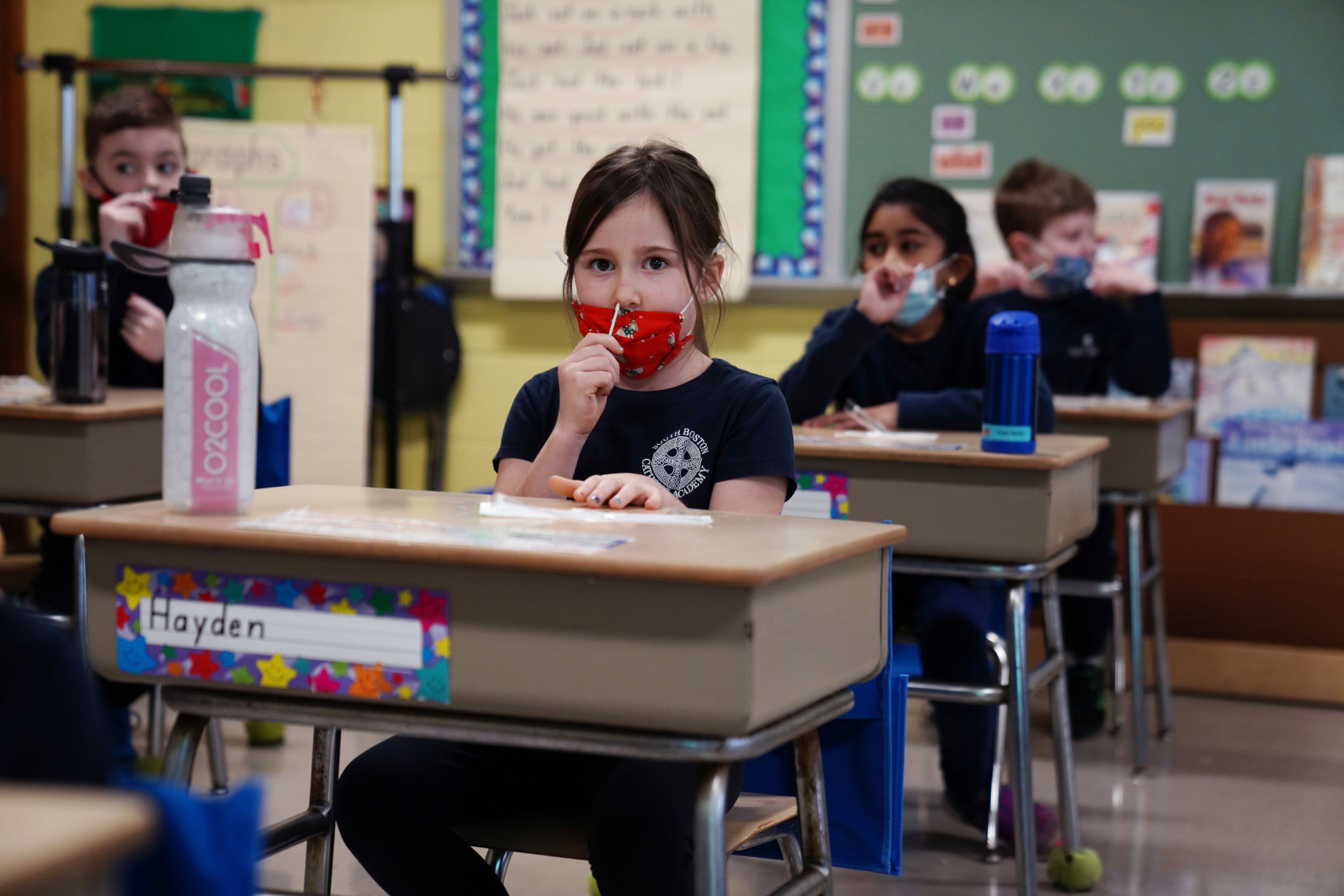
California has launched an interactive map that the public can use to track school reopenings across the state.
The Safe Schools Reopening Map displays the primary mode of instruction — in-person, hybrid or distance learning — being used in elementary, middle and high schools in public school districts. It also provides information related to COVID-19 safety plans.
"As COVID-19 conditions continue to improve and vaccinations ramp up throughout the state, this map will provide local communities with accessible, up-to-date information on how districts in their communities and beyond are adapting to the pandemic, including safety planning and implementation," Gov. Gavin Newsom said in a statement. "This map is one of many resources we have made available that will help school staff and families make informed decisions as we safely reopen our schools."
Get a weekly recap of the latest San Francisco Bay Area housing news. Sign up for NBC Bay Area’s Housing Deconstructed newsletter.


