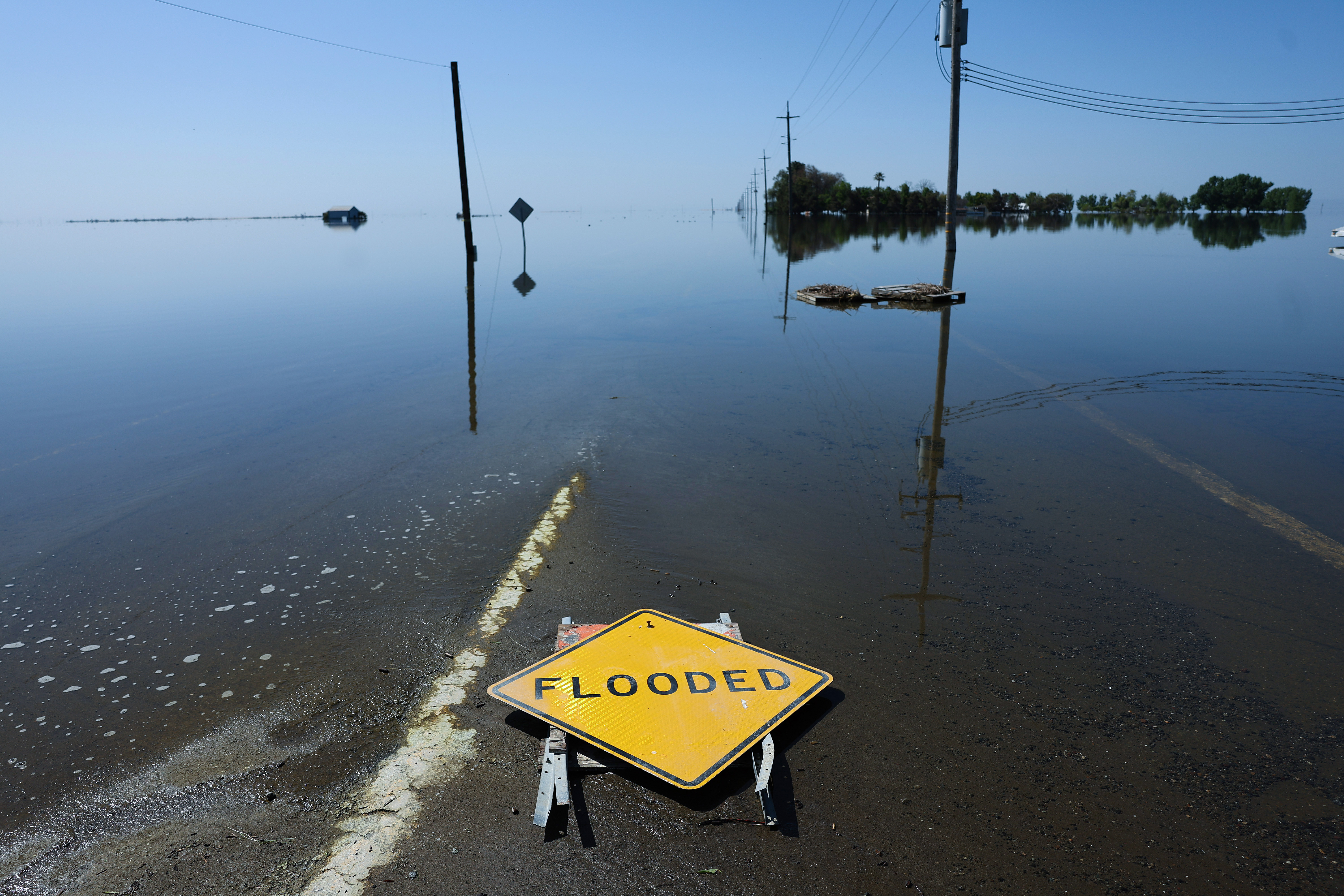
The state's latest snowpack measurements are in and the results won't shock anyone who spent the winter in storm-wracked California this year -- there's still a huge amount of snow in the Sierra Nevada.
The California Department of Water Resources released its snow survey data Monday after conducting a manual measurement at Phillips Station in El Dorado County and compiling information from its network of 130 snow sensors throughout the state.
The manual measurement shows 59 inches of snow with a snow-water equivalent of 30 inches, which is 241 percent of average for Phillips Station on May 1, according to DWR.
The sensors show the statewide snowpack's snow-water equivalent at 49.2 inches, or 254 percent of average for this date.
"The snow water equivalent measures the amount of water still contained in the snowpack and is a key component of DWR's water supply run-off forecast," DWR officials said in a news release Monday.
According to DWR, only three other times in history have the survey results eclipsed 200 percent, in 1952, 1969 and 1983, although data from those years isn't as comprehensive as the current numbers.
The statewide number released Monday reflects an average snow melt of about 12 inches over the past month, which is a slower pace than normal for April and is attributable to below average temperatures earlier in the month as well as increased cloud cover during that period, according to DWR.
The data will help water managers and reservoir operators anticipate the amount of spring and summer runoff they can expect to move through the state's massive water storage and delivery systems as temperatures warm and cloudy skies give way to sunshine.
The information is vital to drinking water districts, farmers, cities and flood control systems, especially in vulnerable and already flooded regions like the San Joaquin Valley and communities along the Central Coast like Pajaro.
Get a weekly recap of the latest San Francisco Bay Area housing news. Sign up for NBC Bay Area’s Housing Deconstructed newsletter.
"The snowpack will not disappear in one week or one month but will lead to sustained high flows across the San Joaquin and Tulare Basins over the next several months and this data will help us inform water managers and ultimately help protect communities in these regions," said DWR Director Karla Nemeth.


