In less than 24 hours, the Park Fire in Northern California grew more than 124,000 acres.
How is this even possible?
You can likely blame the current hot, dry and windy weather for that, amplified by nearly nonstop heat waves.
The Park Fire began like other fires have this summer with an apparent near roadside start.
An Alert California camera shows the time of ignition and growth.
The fire quickly grew in heat-wave parched fuels and in an environment with temperatures in the 100s, humidity levels below 25% and increasing wind – that latter point a driving factor in the rate of spread and fire intensity.
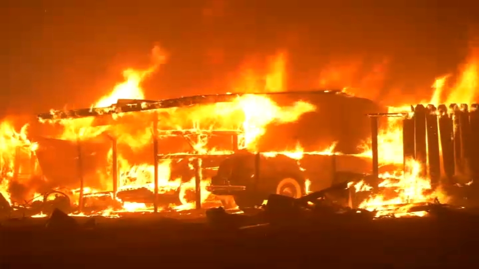
By evening, evacuation orders and warnings were expanding as the fire developed a well established column plume, capable of lofting large embers that cause "spotting" downwind, with these spot fires taking off in the hot, dry and windy conditions as well.
Again the views on Alert California cameras showed rapid growth that would later overrun two of the cameras – one at Richardson Springs and the other at Pine Creek.
Get a weekly recap of the latest San Francisco Bay Area housing news. Sign up for NBC Bay Area’s Housing Deconstructed newsletter.
Nearing sunset, the fire took on even more extreme behavior with a rotating column structure, as noted by Neil Lareau, tilted in the wind along the ground, capable of extremely fast rate of spread, enhanced by spotting behavior down range.
It wasn't long before the Richardson Springs Alert California camera had a burnover that took the camera offline as the fire continued northward, then northwestward overnight.
The Pine Creek camera experienced another burnover but remained online – the time-lapse showing how quickly the Park Fire raced through the area and the embers blowing in the gusty wind.
Regional radar showed unfortunately how fast the fire front pushed north-northwest. You can see here it making the run to the northwest – this rapid growth leading to the giant leap in total acres burned by morning.
Fires of this size are easily capable of producing their own weather, but enhanced with overnight conditions staying in the 80s and 90s with no humidity recovery and ongoing gusty winds, it stayed essentially daytime warm and dry even ahead of sunrise, which is typically the coolest time of day.
The result was by morning the Park Fire never eased up. Boosted again by the next day's heating and wind, the fire quickly rose up to produce pyrocumulus clouds – where the air rises, cools and condenses into clouds – into the afternoon as the blaze closed in on 100,000 acres burned in a less than a 24-hour cycle.
More examples of extreme fire behavior developed Thursday evening as a fire-generated vortex formed, seen here as the column rotates in this time-lapse view.
We’ve seen this before in other fast-growing wildfires like the Carr Fire and Loyalton Fire, which prompted the first-of-its-kind fire tornado warning. To determine if wind speeds in that rotating column are indeed increasing to potential tornado-like velocity, we use the nearest radar scan – in this case from Beale Air Force Base that did show a tightening area of rotation (red/green area highlighted), which indicated winds accelerating in the vicinity of that rotating column plume.
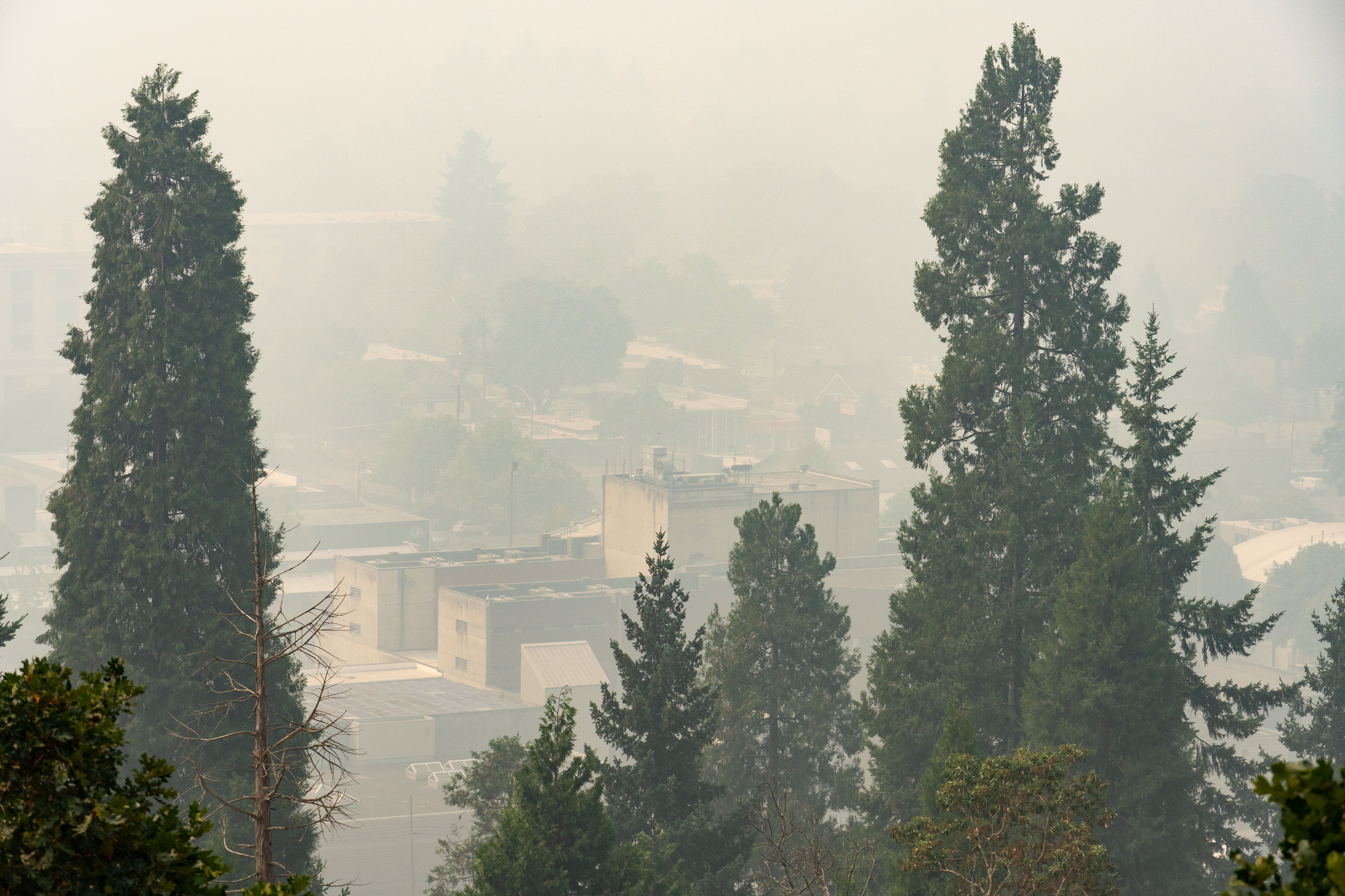
It is yet another reminder that fire weather is severe weather, especially more so now in California.