
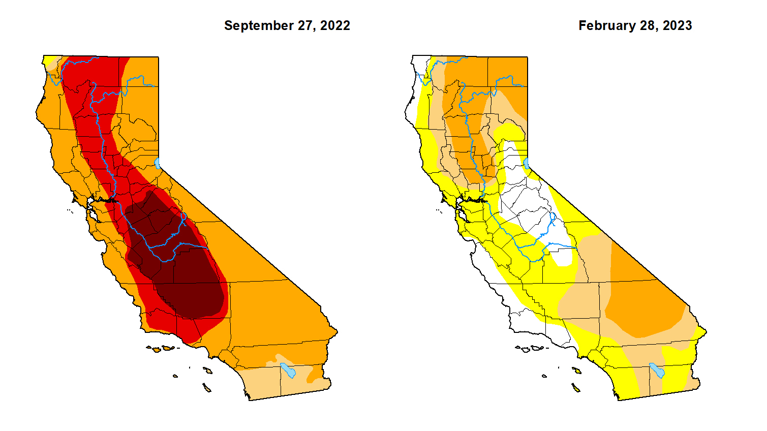
Images from space show just how much California's biggest reservoirs have benefited from winter storms.
Between November and late January, the brown ridges of Lake Shasta disappeared after a series of atmospheric river storms, the capacity going from 31% to 56%.
Lake Oroville, sitting at 28% capacity in November, is now at 78%.
"We have to be delighted for every snowflake and every drop of rain we've gotten," said Felicia Marcus, Stanford Fellow, Water in the West program. "We’ve certainly gotten an abundance of it."
The latest drought monitor report shows most of the Bay Area is now formally out of drought stage.
Just three months ago, the entire state was still in some form of a drought. Now, only half the state is.
"We’ve had this very anomalous above average rainy season this year, which you see how often we have to get rain systems to push through here to have such a significant event," National Weather Service meteorologist David King said.
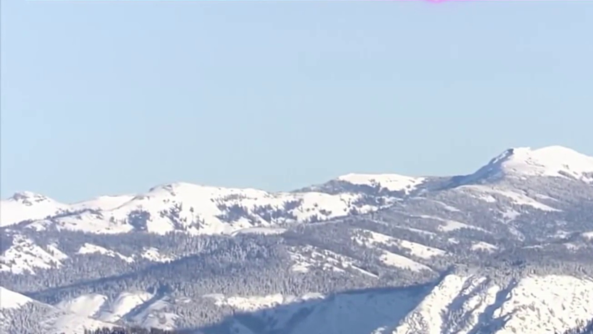
The Sierra snowpack is approaching levels that haven't been seen since the early 1980s. It's 190% of the yearly average with more snow forecasted this weekend.
Marcus, former Water Resources Control Board chair, said scientists' next focus is on how fast it melts. They're hoping for a gradual warm-up as spring arrives.
Get a weekly recap of the latest San Francisco Bay Area housing news. Sign up for NBC Bay Area’s Housing Deconstructed newsletter.
"Because that snowpack is worth twice of what rain is because of the timing impact of having it up there as storage to melt out more slowly, refill the reservoirs as we use them, replenish our streams and refill our groundwater basins at a pace they can absorb," Marcus said.
The groundwater, especially in the agriculturally-rich Central Valley, is still very low.