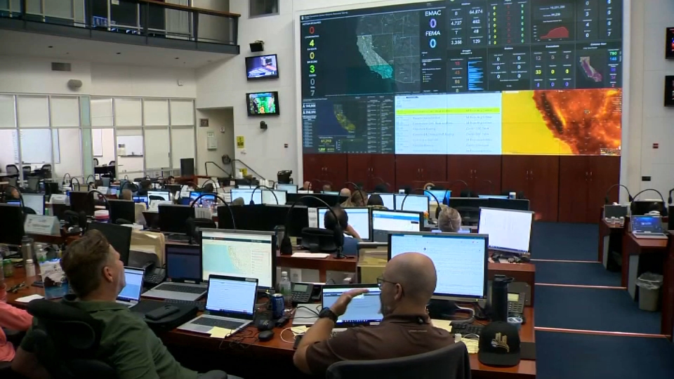
While hundreds continue to battle the destructive Mosquito Fire in the Sierra, a smaller group of Bay Area scientists are trying to learn from it. Marianne Favro reports.
For some severe weather is all about thunderstorms, Winter storms or hurricanes but to Kate Forrest, severe is defined by fire weather. More often than not, it arguably has become the most common type of severe weather in California as drier conditions continue around the state due to prolonged drought conditions.
“My passion for fire weather research began after seeing images from California’s 2020 wildfire season during my final year at Florida Tech. I was in awe of extreme fire weather phenomena and had a desire to learn more about it. Studying plume dynamics combines my love for field work and wild weather while advancing our knowledge,” Forrest said.
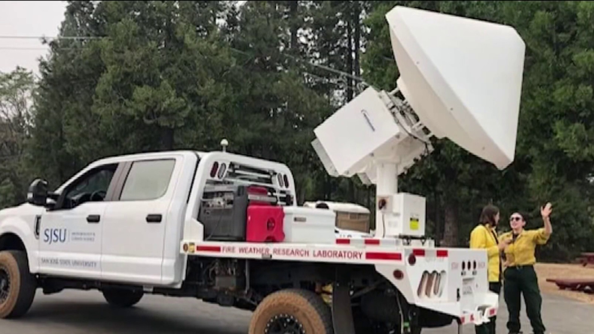
Forrest is a grad student at San Jose State University and is working with the SJSU Fire Weather Lab and Wildfire Center. She also serves as the team’s mobile radar operator or larger wildfires.
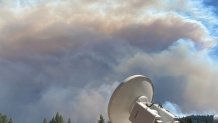
Even though this year’s fire season for a time lacked the larger events of recent years, things quickly escalated recently when the Mosquito Fire grew rapidly in hot, windy and unstable atmospheric conditions.
“While at the Mosquito Fire intense plumes were shooting up every 5 minutes,” Forrest added. “The most exciting moment happened when we scanned a 41,000-foot tall pyrocumulonimbus cloud containing ice crystals with updraft speeds exceeding 30m/s.”
Pause. Think about that for a moment. Updraft speeds nearly 67 miles per hour and the team has used aircraft lidar to see updraft speeds even faster than that in larger wildfire column plume fires across the Western U.S.
The more data is gathered on large wildfire events like the Carr Fire, Camp Fire, Creek Fire and last year’s Dixie Fire, it becomes clear wildfires can not only create their own weather, but in some cases create severe and supercell thunderstorm like behavior.
To better understand this, using the same tools to track/study supercell thunderstorms and severe weather is now being applied to wildfires. One of the most critical tools the team is their mobile radar truck, which works in many ways similar to NBC Bay Area’s StormRanger with a high resolution, rapid scan ability to better understand what is happening behind all the smoke and flames.
Get a weekly recap of the latest San Francisco Bay Area housing news. Sign up for NBC Bay Area’s Housing Deconstructed newsletter.
“Deploying SJSU’s mobile weather radar to a fire is as exciting as it is exhausting. We spend a lot of time driving around and looking on google maps to find the best sampling location that has line of site and is within 10 km of the fire. Once my team and I find a spot, we level the truck and power up the radar. It’s then my job to point the radar in the direction of the plume and start collecting data. On days with clear visibility, it’s very easy to know where I need to scan, but when we’re inundated with smoke, I make my best guess until I hit my target,” Forest said.
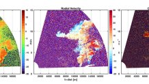
The radar results can be stunning as seen here in imagery showing the towering column plume displaying strong winds vertically while casting large embers and large ash and other wildfire lofted materials aloft.
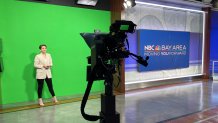
When not deployed on wildfires, Forrest said that she has enjoyed her other Summer line of work, which has been as weather intern for the NBC Bay Area weather team.
"Working at NBC Bay Area has shown me completely different yet exciting side of meteorology, Forrest said. "As someone who’s primarily been on the research side, it’s eye opening to see day-to-day operations in a broadcast studio while learning science communication from some of the best producers, broadcast meteorologists, and journalists in the business. Everyone I’ve met and worked with shows immense love and dedication to their work and are always willing to share advice.”
