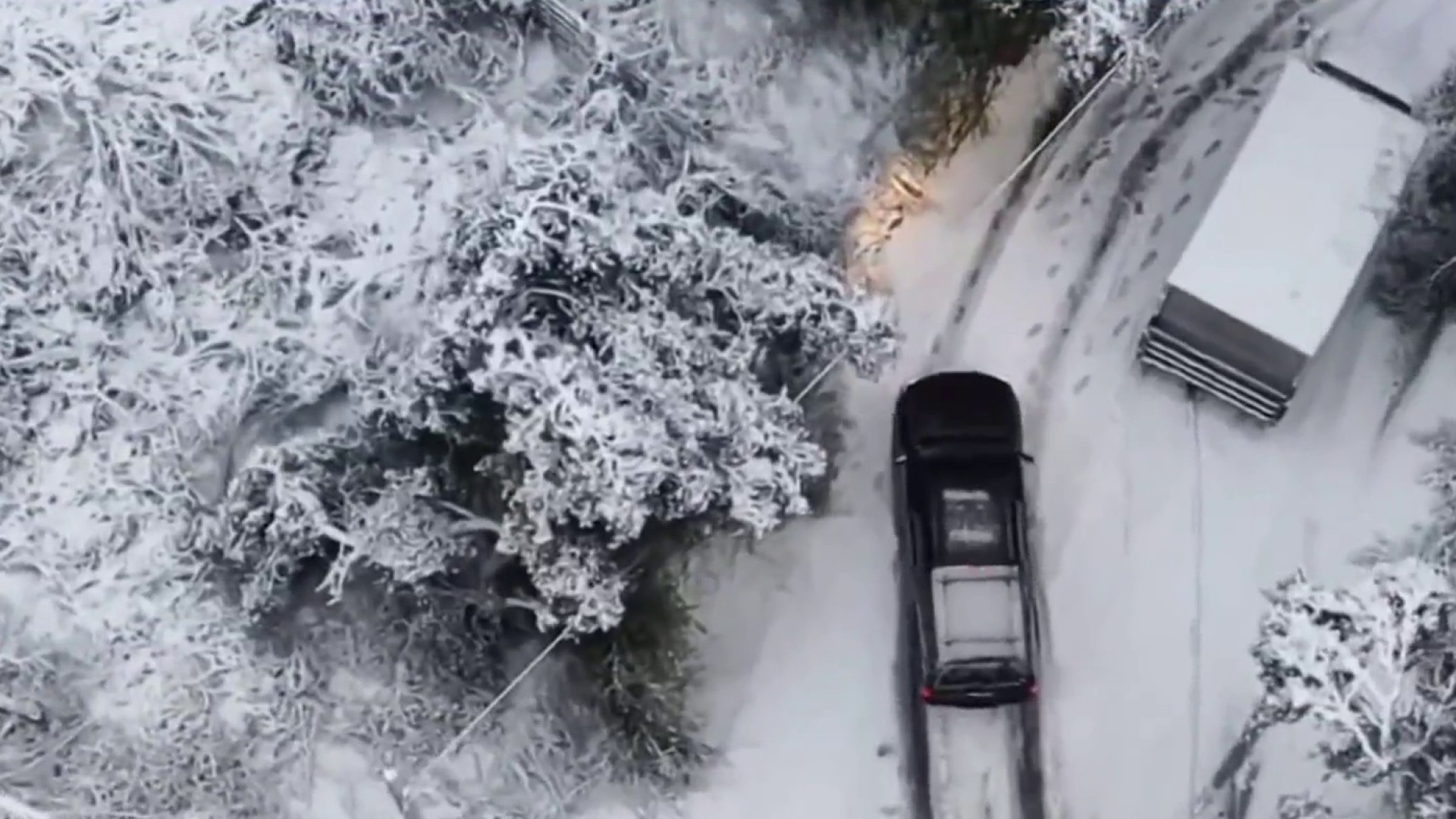
Parts of the Bay Area are looking more like the Sierra Nevada this week thanks to an unusually cold storm system bringing low elevation snow to the region.
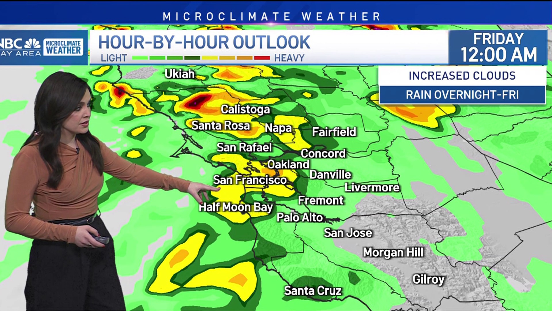
The first round of snow arrived Wednesday, dropping flakes in upper elevation areas such as the Santa Cruz Mountains. A second, heavier round of snow is expected Thursday night into Friday morning, according to the National Weather Service.
"Significant" snow is expected in locations sitting anywhere from 1,500 to 2,000 feet in elevation and above, the weather service said.
The forecasted snowfall prompted the weather service to issue a winter storm warning for higher elevations across the Bay Area, something the agency hasn't done since 2011. The warning will be in effect from 4 p.m. Thursday until 1 p.m. Friday.
In all seriousness: Winter Storm Warnings in effect from tomorrow, the first time we've issued one since *checks notes* 2011. Snow levels will fall to around 1,500 feet and accumulations of 12-18 inches are possible in the Central Coast mountains. pic.twitter.com/Xx5mf7BtwM
— NWS Bay Area 🌉 (@NWSBayArea) February 23, 2023
When it comes to how much snow could fall, here's a look at forecasted snowfall totals between Thursday morning and Friday night, courtesy of the weather service.
- Mount Saint Helena: 12-18 inches
- Mount Tamalpais: 3-4 inches
- Mount Diablo: 8-12 inches
- Mount Hamilton: 18-24 inches
- Mount Umunhum: 8-12 inches
Get a weekly recap of the latest San Francisco Bay Area housing news. >Sign up for NBC Bay Area’s Housing Deconstructed newsletter.


