
An excessive heat warning for the Bay Area will expire at 11 p.m. Sunday, but some areas may face a chance of thunderstorms, the National Weather Service said.
The greatest chance of thunderstorms is in the North Bay from Sunday evening to early Monday, forecasters said Saturday.
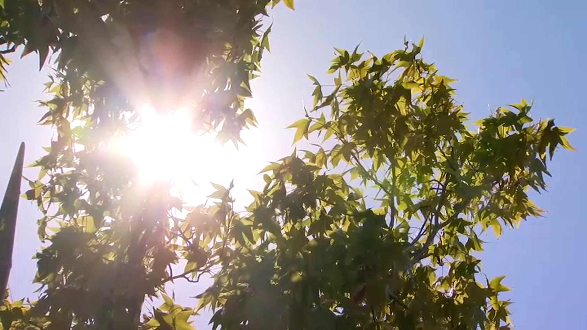
The chance of lightning comes as triple-digit heat combined with low humidity has increased fire danger, the weather service said. But the storms are unlikely to bring rain.
"With air below the potential thunderstorms remaining dry, any rainfall that may occur will likely evaporate before reaching the ground," the weather service said.
The highest temperature in the Bay Area on Saturday was 106 degrees at Travis Air Force Base in Fairfield, the weather service said. Parts of the North Bay hit 102 to 105.
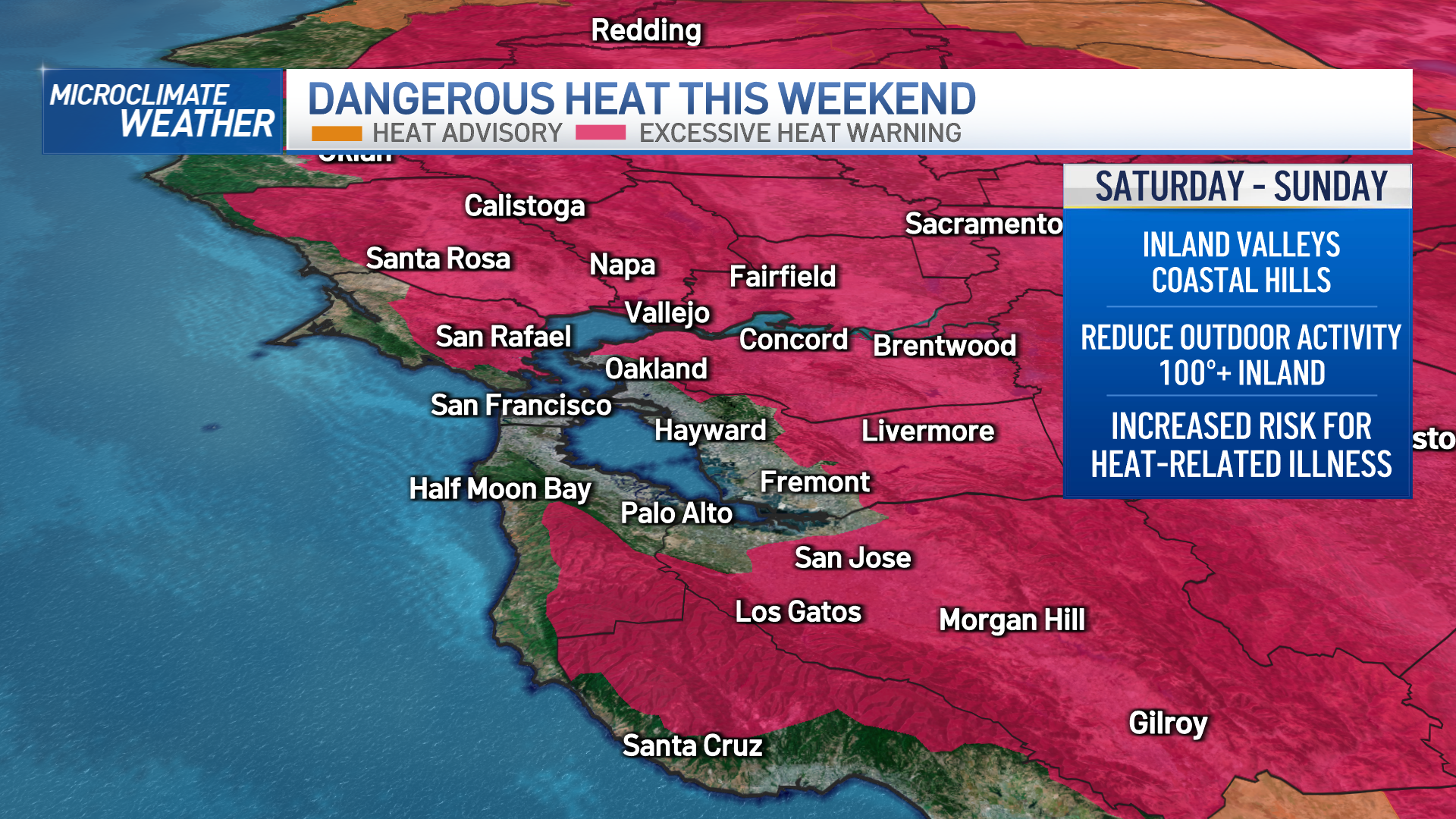
By contrast, in coastal Bodega Bay, the high was 58 degrees.
"It's a classically large spread" of temperatures, said Rick Canepa, a meteorologist at the National Weather Service office in Monterey.
Though it was hot in many places, it wasn't record heat, he said.
"The records are pretty tough to reach for this time of year," he said.
Get a weekly recap of the latest San Francisco Bay Area housing news. Sign up for NBC Bay Area’s Housing Deconstructed newsletter.
In several communities, the highest temperatures for July 15 were set in 1972 -- 115 degrees in Gilroy, 110 degrees in Redwood City and 107 degrees in Santa Rosa, according to climate data.
While there is no excessive heat warning on Monday, the weather service said, interior areas will be in the upper 80s to low 100s.
A slight cooling trend will develop through midweek, forecasters said.
By Tuesday, high temperatures along the coast will be in the 60s to near 80. Interior areas will remain in the upper 80s to near 100.