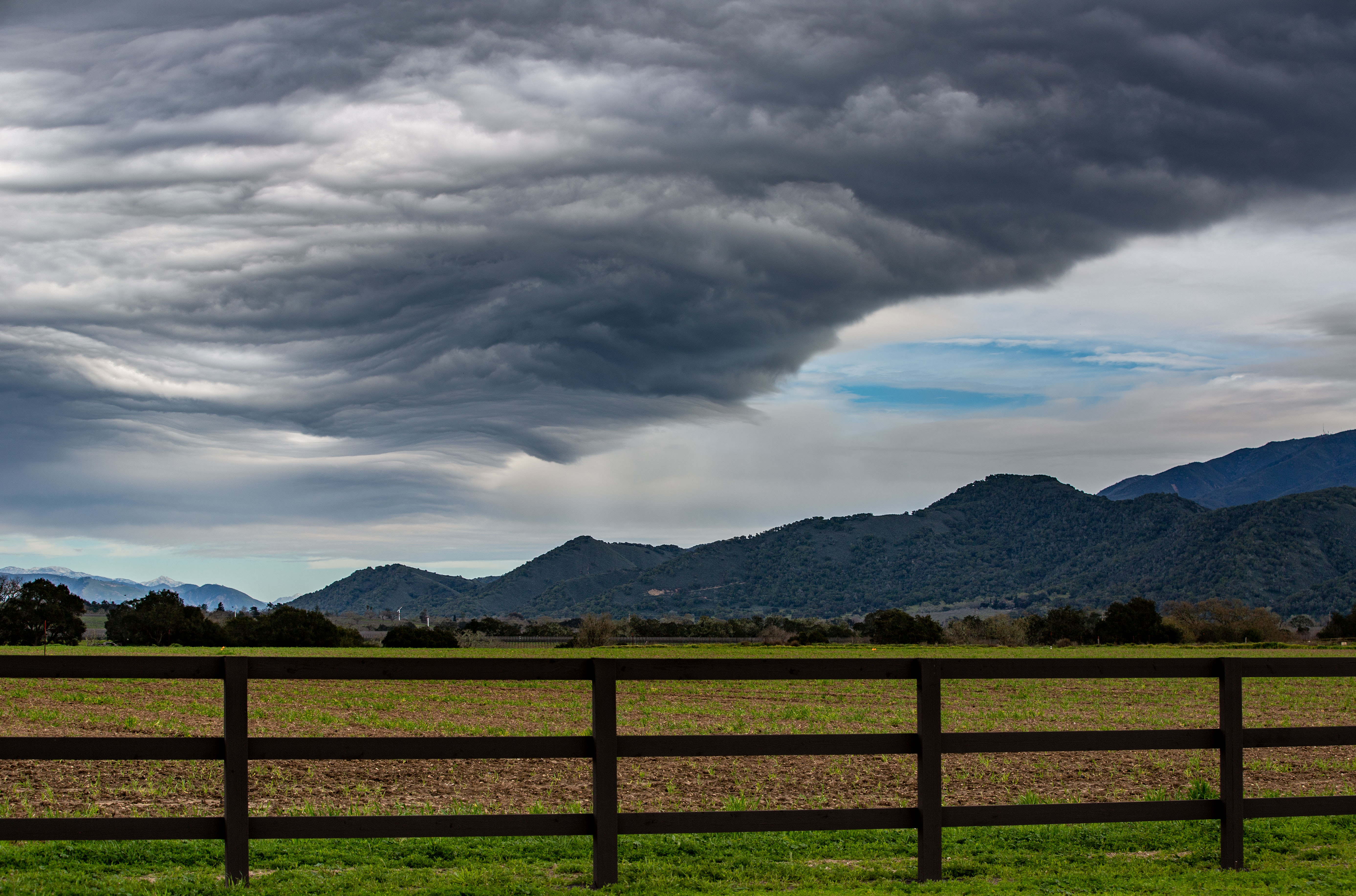
Yet another storm packing gusty winds and rain is bearing down on the Bay Area, weather officials say.
Here's what you need to know about the incoming system.
Wind advisory issued
A wind advisory has been issued for much of the Bay Area beginning Monday night and continuing into Tuesday afternoon, according to the National Weather Service.
Peak wind gusts are forecasted to range from 40 to 55 mph, the weather service said. Areas along the coast and in the higher elevations are slated to experience the highest gusts.
Rainfall forecast
Anywhere from a half-inch to 3 inches of rain could fall across the Bay Area between Monday evening and Thursday morning, according to the weather service.
Below is a more detailed look at the rainfall forecast during that time, courtesy of the weather service.
Get a weekly recap of the latest San Francisco Bay Area housing news. >Sign up for NBC Bay Area’s Housing Deconstructed newsletter.
- Cloverdale: 2-3 inches
- Santa Rosa: 1.5-2 inches
- Napa: 1.5-2 inches
- Concord: 1-1.5 inches
- San Francisco: 1-1.5 inches
- Livermore: 0.5-1 inch
- San Jose: 0.5-1 inch
- San Cruz: 1-1.5 inches
- Hollister: 0.5-1 inch
- Monterey: 0.5-1 inch
Possible storm impacts
The incoming storm, particularly the gusty winds, could cause the following:
- Downed trees and power lines
- Power outages
- Difficult driving conditions for high profile vehicles
- Minor flooding of creeks and streams
- Shallow landslides
Use interactive radar to track the storm
Track the storm by using our interactive weather radar below.
Track PG&E power outages
Monitor PG&E power outages by using the interactive map below.


