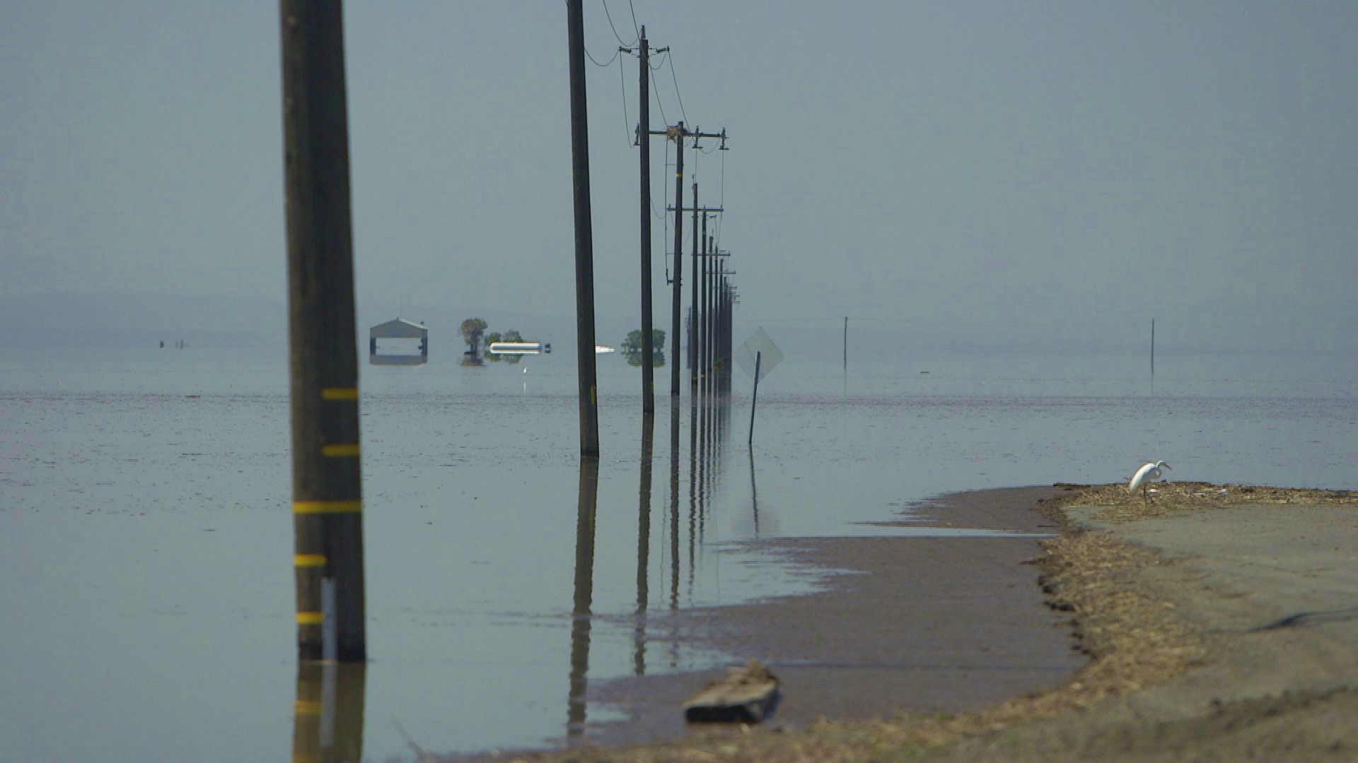
Weather extremes going to new extremes.
This is the likely trend we’ll see in California, according to climate scientists, as global land and ocean temperatures continue warming.
California has experienced this shift with more frequent, persistent and intense periods of drought. These periods are punctuated by fewer yet more intense storms boosted by atmospheric rivers.
Mean temperatures (which are combinations of highs and lows) have trended notably warmer for California, especially since 2000, with some of the warmest years happening since 2015
Periods of more intense drought have simultaneously occurred in this timeframe as well.
Rising temperatures are allowing the atmosphere to carry more moisture. For every one degree increase in temperature, there’s a 4% boost in water vapor.
This can be especially important across the Pacific, where warming ocean surface and air temperatures are increasing the moisture loading capacity for atmospheric river storms.
When this warmer airmass meets up with colder maritime Polar air from the Gulf of Alaska, the ability for storms to strengthen more rapidly and cause more wind also increases.
These conditions were involved with the stronger storms boosted by atmospheric rivers in late December to January this year, as well as the unusually strong late season storms in March.
Get a weekly recap of the latest San Francisco Bay Area housing news. >Sign up for NBC Bay Area’s Housing Deconstructed newsletter.
Warmer air can also load to moisture loading for higher snow rates as well, provided temperatures remain cold enough at higher elevations to support snowfall.
A record snowpack fell in portions of the Central and Southern Sierra this year (Palisades Tahoe, Mammoth Mountain) thanks to peak storm activity when snow levels were mainly in the 4,000-5,000 foot range.
As temperatures continue trending upward in the next two to three decades, the odds of having big snowpack years - especially at lower elevations - will eventually trend lower.
Climate scientists believe this will increase risk for runoff and river flooding for California as less snow is locked away in the Sierra and high rain rates/runoff enhance flooding.
This leads to the precipitation paradox, as termed by Dr. Daniel Swain who holds a PhD from UCLA Meteorology, where we will see an increased risk of high impact flooding events, yet water resource challenges from a less reliable supply of melting Sierra snow into Summer.


