
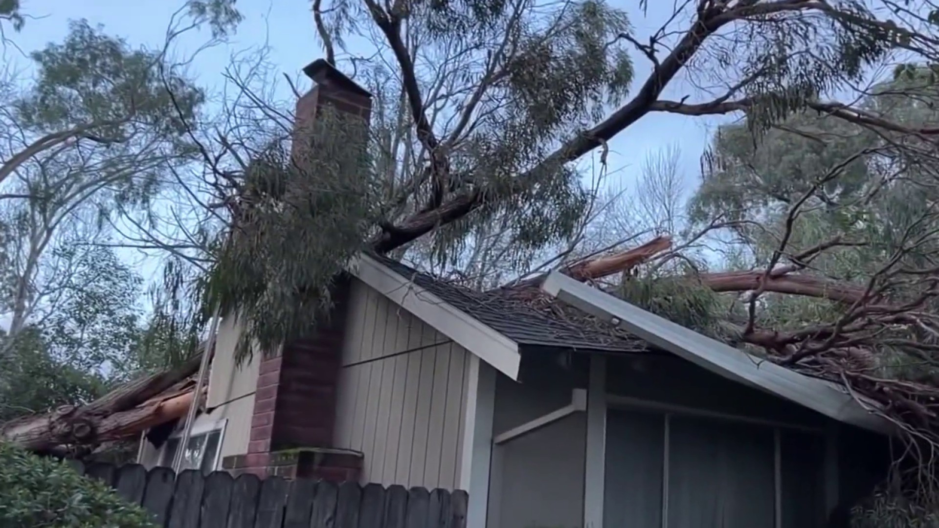
For the first time in more than a decade, Cal Fire is reassessing wildfire risk in Bay Area cities.
New fire hazard severity maps show dramatic increases in some areas of Sonoma and Napa counties and around San Jose. In Contra Costa County, the fire hazard severity level decreased for some but increased for others.
In Orinda, areas classified under the very high hazard range more than doubled from 2,400 acres to more than 5,200 acres.
Locations near Glorietta Elementary School and the Orinda Oaks neighborhood are now considered a very high hazard zone.
"Hearing that we are now in a red zone certainly gives an added layer of anxiety," resident Katia Weinstein said.
Cal Fire rolled out phase one of its updated fire hazard severity maps two weeks ago. On Monday, it released phase two, which included the Bay Area and the entire Northern California coast. The updated fire risk assessment is based on decades of fire behavior and weather data.
"Just so much in the last couple years what we've experienced but over the last 30 years what these areas have experienced," Contra Costa Fire Protection District Marshal Chris Bachman said.
Local

The maps are interactive, so users can search an address and see what zone it’s in. There’s an extra layer for the red very high hazard areas, outlining requirements for clearing proper defensible spaces.
"We’re providing defensible space inspections currently for those areas that are listed as very high, and the areas that previously weren't identified but now are will be out after we adopt the maps and create the ordinance," Bachman said.
Get a weekly recap of the latest San Francisco Bay Area housing news. Sign up for NBC Bay Area’s Housing Deconstructed newsletter.
The Contra Costa Fire Protection District is planning a town hall for March to inform residents of defensible space ordinance changes.
As far as insurance goes, Bachman said this could affect how private insurers determine rates and eligibility, but it’s not the whole picture.
"We’ve been told that the fire severity zones are really just one piece to many different data sets that insurance companies are looking at as they’re identifying risk," he said.
Cal Fire will continue to update the maps and roll out the last two phases for Central and Southern California through the end of March.
