A mapping system designed to help prevent ships from hitting whales off the Bay Area coast launched Wednesday.
The system, called Whale Safe, monitors ship speeds and whale presence in coastal waters in real time.
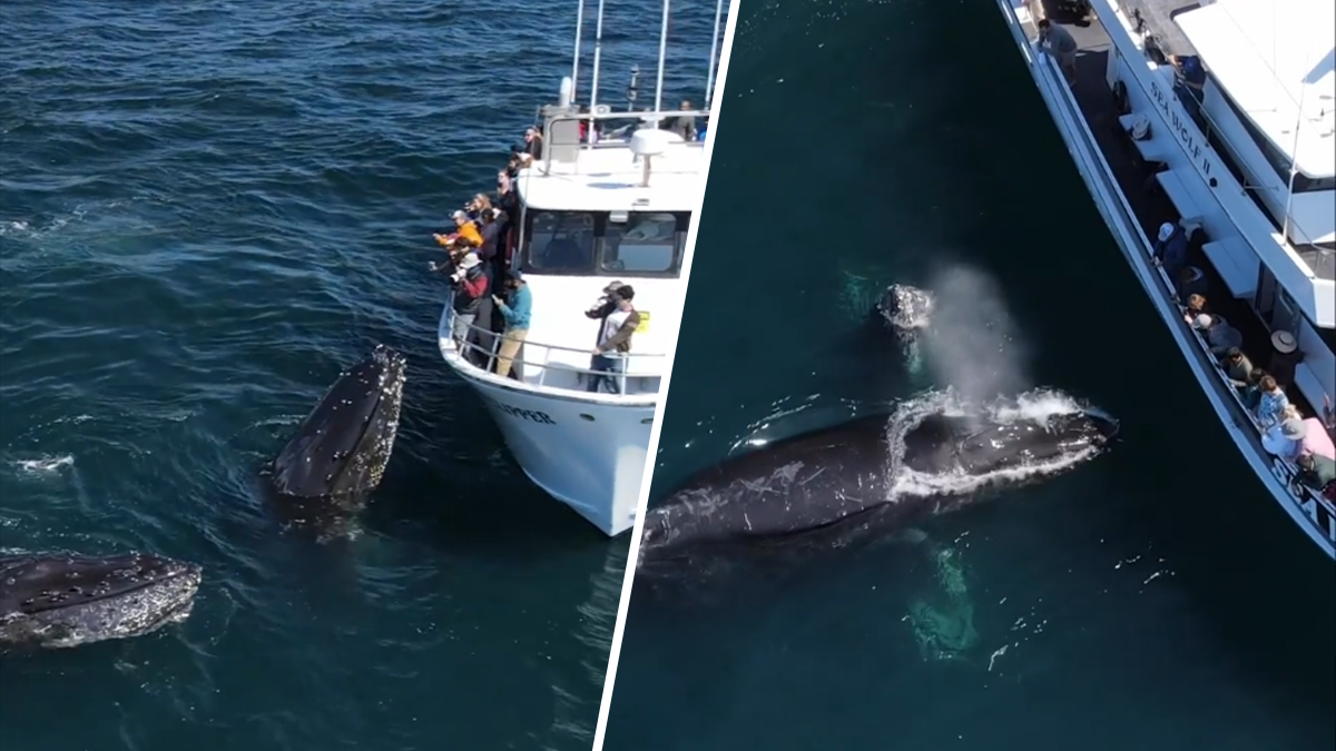
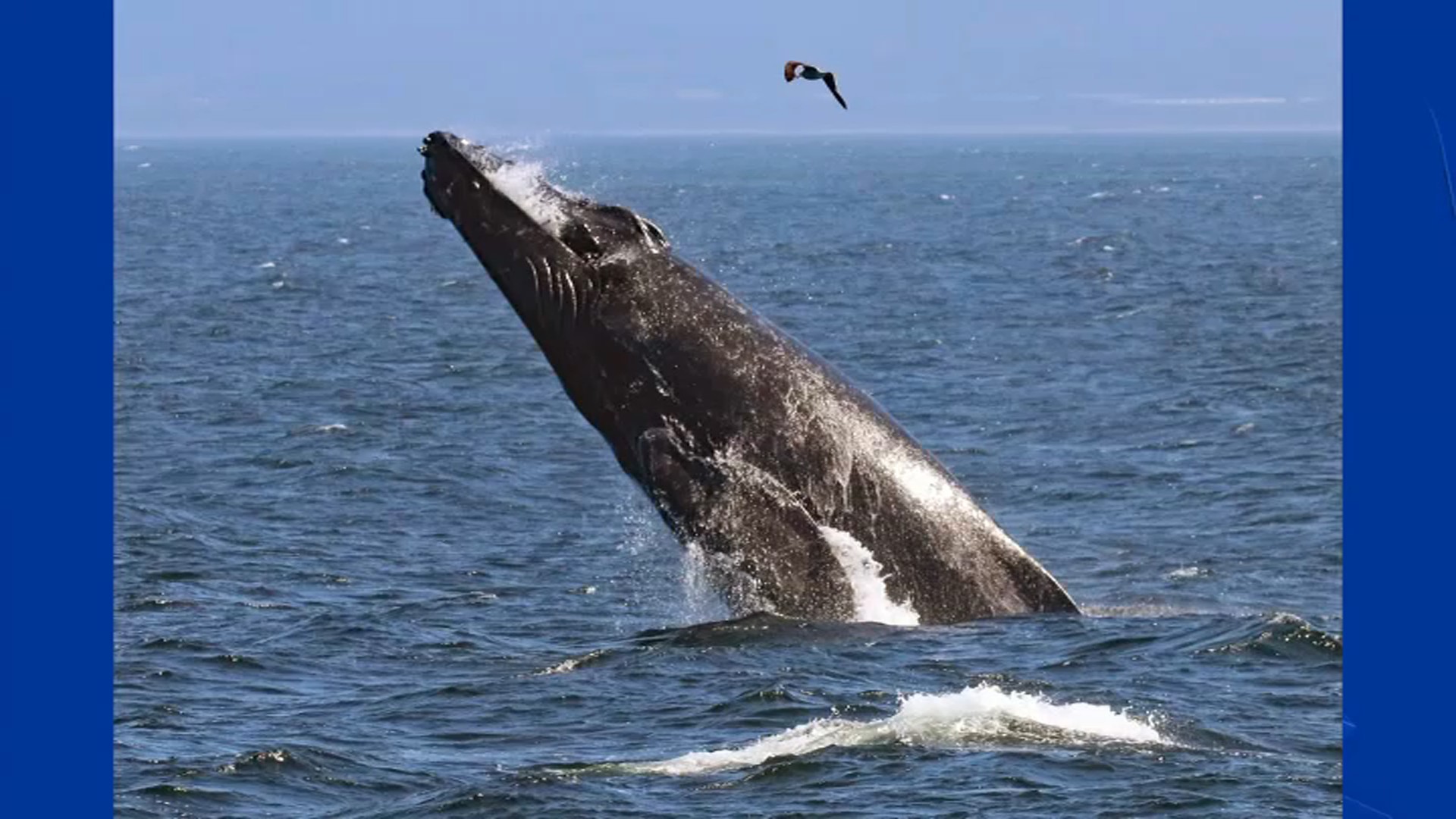
Blue, fin, humpback and gray whales are all vulnerable to ship strikes because they migrate and feed in the same areas as shipping routes.
"As so many of you know, whale ship collisions are a top source of mortality, of death, for endangered whales in the west coast of North America and for that matter across the world," said Douglas McCauley, director of the Benioff Ocean Science Laboratory.
The Whale Safe program first launched in Southern California two years ago.
Get a weekly recap of the latest San Francisco Bay Area housing news. Sign up for NBC Bay Area’s Housing Deconstructed newsletter.


