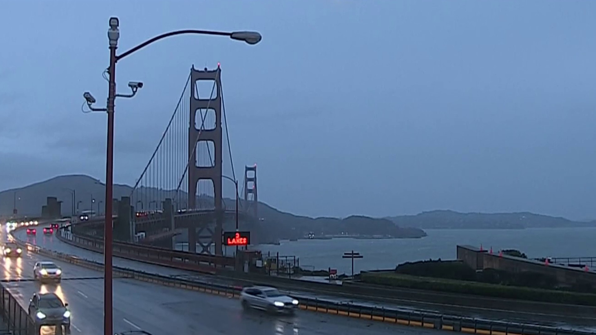
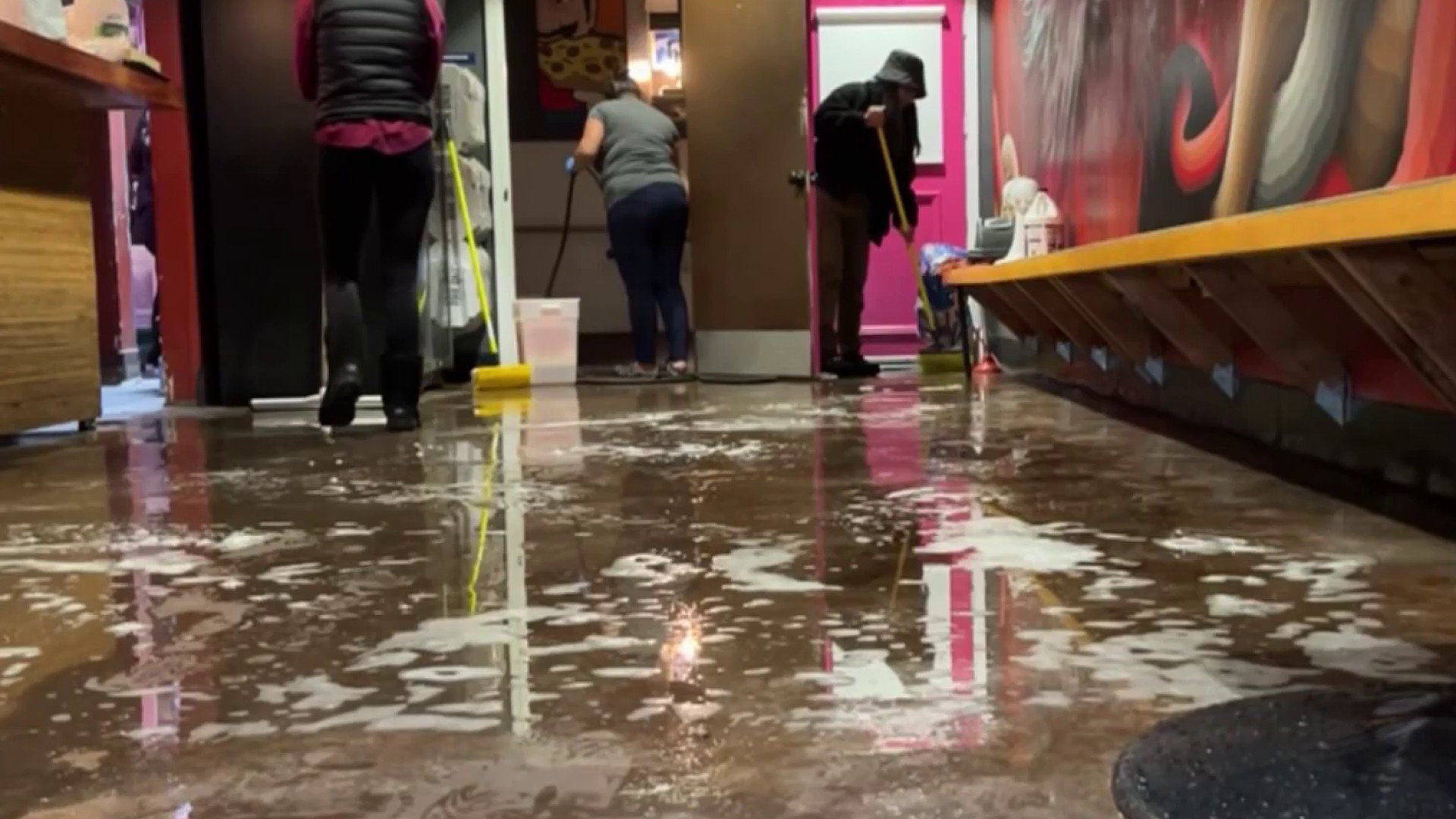
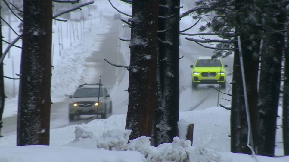
California’s governor issued an emergency proclamation Wednesday as much of the state braced for a winter storm that may trigger what meteorologists call a “bomb cyclone.”
Residents in the San Francisco Bay Area were being asked to leave their homes only if necessary as potentially life-threatening weather conditions loomed.
Thousands of sandbags were distributed in the Bay Area this week in anticipation of flooding. And in South San Francisco, school officials announced classes would be canceled on Thursday as a precaution.
In addition to the rain, the National Weather Service warned of wind gusts of up to 70 mph in some mountainous areas.
A high wind warning was in effect for the Bay Area and central California coast through Thursday.
“The greatest impacts, which include damaging winds, excessive rainfall, and extremely heavy snow, is forecast to occur over much of California and into southern Oregon through Thursday,” the weather service said Wednesday morning.
A flood watch was also in effect across much of Northern and Central California, with officials warning of mud and landslides, rising creeks and flooded roadways.
The National Weather Service also warned of flooding along Sonoma County’s Russian River, an area hit by Northern California's destructive wildfires in recent years.
Get a weekly recap of the latest San Francisco Bay Area housing news. >Sign up for NBC Bay Area’s Housing Deconstructed newsletter.
“We anticipate that this may be one of the most challenging and impactful series of storms to touch down in California in the last five years,” said Nancy Ward, director of California Governor’s Office of Emergency Services.
Flooding and power outages will be a “real possibility” into Wednesday evening across the Bay Area, said NBC Bay Area meteorologist Kari Hall.
“You’re probably hearing the term bomb cyclone,” Hall said. “[This storm is] also an atmospheric river because of its connection all the way to Hawaii. It’s bringing in that tropical moisture and slinging it right into the Bay Area.”
The heavy rain fueled by the series of atmospsheric rivers will become a “meteorological bomb cyclone,” Daniel Swain, a climate scientist at UCLA and the National Center for Atmospheric Research, said in a YouTube briefing about the weather patterns behind the storm, according to NBC News.
What is a Bomb Cyclone?
Other than an intimidating weather term, a bomb cyclone simply means a storm that’s rapidly intensifying.
Also called bombogenesis, the weather event happens when atmospheric pressure drops quickly during a storm — meaning at least a 24-millibar (the unit that measures atmospheric pressure) drop in 24 hours, NBC New York reported.
“All bomb cyclones are not hurricanes,” Swain told NBC News last month. “But sometimes, they can take on characteristics that make them look an awful lot like hurricanes, with very strong winds, heavy precipitation and well-defined eye-like features in the middle.”
Of course, hurricanes are more common in the summer and early fall and in tropical areas with warmer waters — none of which apply in California this winter.
Swain told NBC News that bomb cyclones aren’t totally different than other strong storms — just that they strengthen quickly, the signature mark of a strong weather system.
San Francisco is anticipating up to six inches of rain, according to the National Weather Service.
In Los Angeles the heaviest rain is expected overnight Wednesday into Thursday morning.
Follow NBC Bay Area, NBC San Diego and NBC Los Angeles for the latest California weather coverage.


