An atmospheric river is heading for the Bay Area. That's a phrase you'll likely hear during the winter months, but what exactly is an atmospheric river?
Here's what you need to know.
What is an atmospheric river?
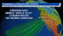
Think of an atmospheric river as a river in the sky.
An atmospheric river (AR) is a long, narrow band of condensed water vapor that can end up producing heavy rain and snow, according to weather officials.
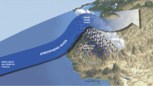
When an atmospheric river moves inland and hits mountains, the water vapor rises and cools, producing heavy precipitation.

NBC Bay Area Chief Meteorologist Jeff Ranieri said meteorologists look at two key factors when an atmospheric river is coming together: where the storm is going to stall once it hits land and a meteorological term known as orographic lifting.
"This has to do with the mountains," Ranieri said. "The mountains always enhance that rainfall. As that rain heads right towards the mountains, those mountains squeeze out quite a bit more rainfall. Areas on the other side of the mountain don't get nearly as much."

Get a weekly recap of the latest San Francisco Bay Area housing news. Sign up for NBC Bay Area’s Housing Deconstructed newsletter.
Is there a rating system for atmospheric rivers?
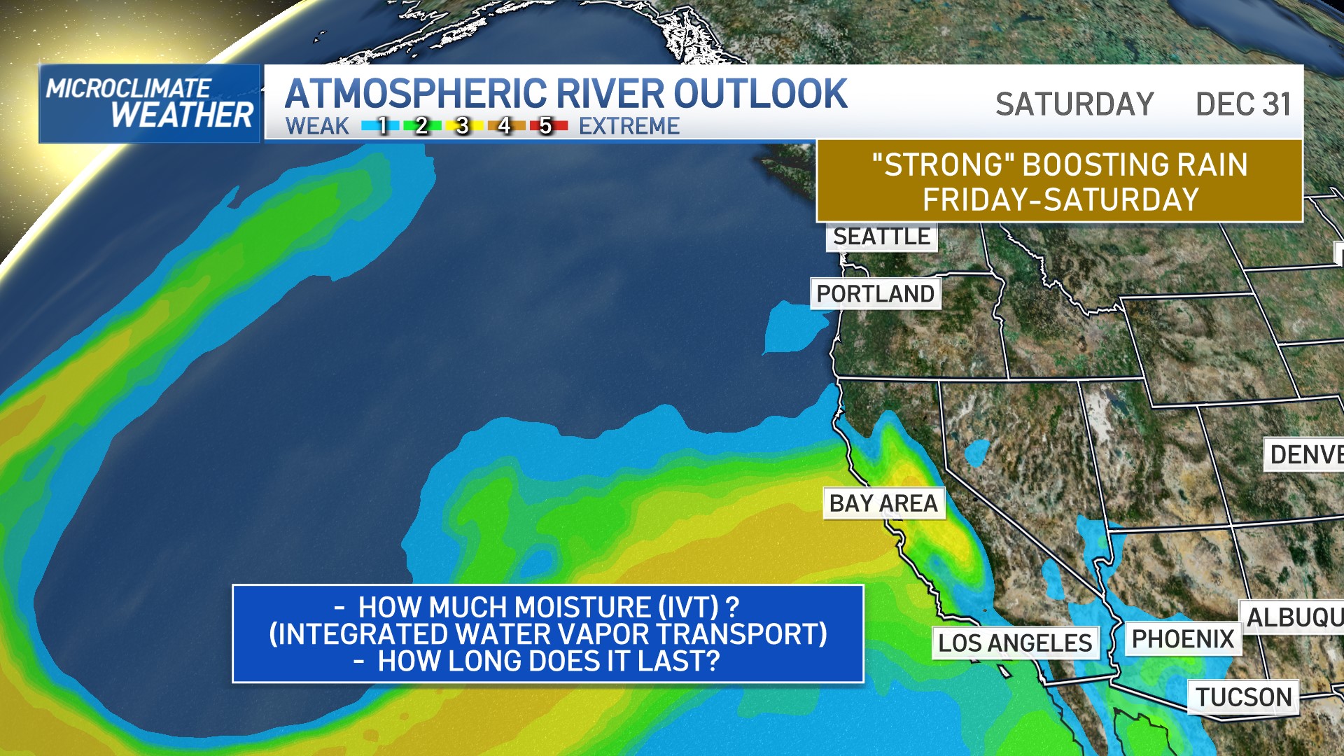
Yes. Atmospheric rivers are rated using the atmospheric river scale, which has five categories.
- AR 1: Weak (primarily beneficial)
- AR 2: Moderate (mostly beneficial but also somewhat hazardous)
- AR 3: Strong (balance of beneficial and hazardous)
- AR 4: Extreme (mostly hazardous but also beneficial)
- AR 5: Exceptional (primarily hazardous)
The scale focuses on total expected water transport and how long that available water will be over the same area.
"Though many ARs are weak systems that simply provide beneficial rain or snow, some of the larger, more powerful ARs can create extreme rainfall and floods capable of disrupting travel, inducing mudslides and causing catastrophic damage to life and property," according to the National Oceanic and Atmospheric Administration (NOAA).
How much rain can an atmospheric river produce?
It depends on the strength of the atmospheric river. According to NOAA, a strong atmospheric river can transport an amount of water vapor that's roughly equivalent to 7.5 to 15 times the average flow of water at the Mississippi River's mouth.
For the West Coast, just a few atmospheric river storms can deliver roughly 30 to 50% of the region's annual precipitation, according to NOAA.
How big are atmospheric rivers?
Atmospheric rivers are about 250 to 375 miles wide on average and can stretch up to 2,000 miles long, according to weather officials.
Are atmospheric rivers common?
Yes, atmospheric rivers are very common.
"ARs move with the weather and are present somewhere on Earth at any given time," according to NOAA.
Are atmospheric rivers changing?
NASA scientists project that atmospheric rivers will be less common in the future, but the ones that do form will be longer and wider, bringing heavier rain. That could result in large swings from extreme drought to extreme flooding.


