

Shortly after severe thunderstorms and brief heavy rain, lightning-sparked fires popped up and created what is now the Mill Fire and Smith Fire, part of the Gold Complex of fires burning in Plumas County.
While the storms brought brief bursts of heavy rain, lightning strikes, including some outside of the rain column, became the starting point for the Mill Fire into Monday afternoon.
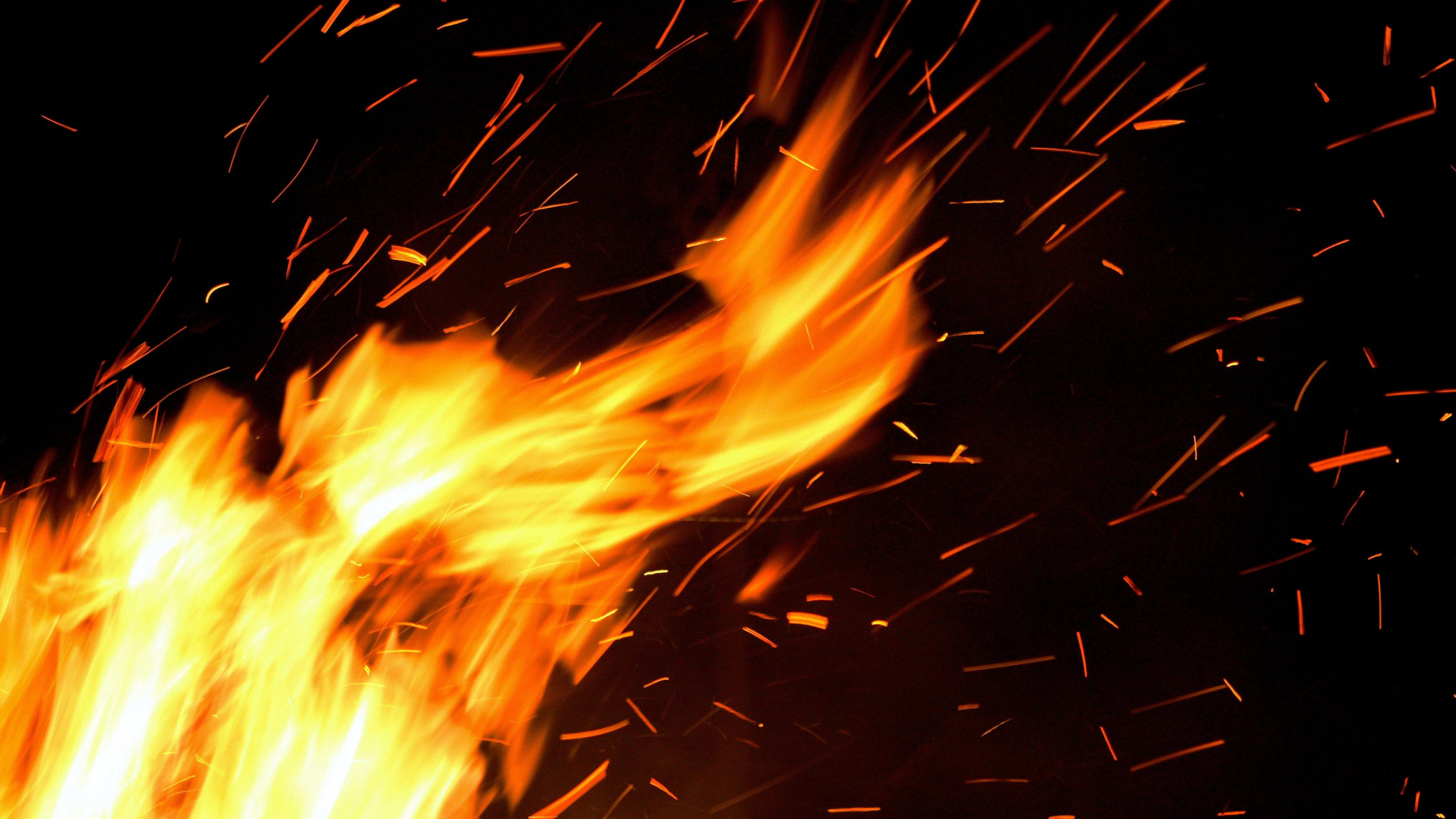
This clip via Alert California shows two fires quickly spreading in windy and dry conditions. This highlights other issues related to thunderstorms, causing strong wind gusts and sudden wind shifts which can quickly endanger fire crews and evacuation efforts.
Many times you’ll have the initial lightning strikes and fire may pop up immediately in the hot, dry and windy conditions. Other times, you may see fires popping up days or weeks later – aka “holdover fires” – that will react to the increase in wind speeds to boost fire activity and rate of spread.
As the wildfire grows, heated air rises quickly upward through the atmosphere as winds accelerate inward and upward along the column plume.
Once this heated air rises to the lifted condensation level, you’ll notice how the smoke transitions to clouds that build upward along the updraft of heated air.
This is also known as a pyrocumulus cloud or fire-generated cumulus cloud, which can transition to a pyrocumulonimbus cloud capable of producing lightning and severe weather at times, usually related to damaging wind gusts and a risk for flash flooding.
Get a weekly recap of the latest San Francisco Bay Area housing news. Sign up for NBC Bay Area’s Housing Deconstructed newsletter.

It's at this point when the wildfire is literally capable of producing its own severe weather and making fire control efforts extremely complicated due to wind, visibility and ground level hazards, from lightning to flash flooding, mudflows, rockslides, and more.
You may notice also in the timelapse on the Mill Fire how the column rises and collapses over time. When these large columns collapse, chaotic, strong, and at times damaging gusts can follow, sending the wildfire outward in different directions and creating conditions unsafe for air crews to operate. These cycles can repeat several times over the course of a day, making fire weather forecasting one of the most challenging tasks for fire crews and utilities trying to manage resources during high fire danger times.
Some of the state’s largest and most destructive wildfires have occurred from multiple lightning-sparked fires that later merged into lightning complexes.
When several of these types of fires merge into lightning complexes, much like we saw in August 2020 around the Bay Area, there really is no means for fire suppression both by ground or air to bring these fires into full containment or control until the onset of consistent rain and mountain snow usually into late October and November, which is often the case in more densely forested zones like the Sequoia National Forest and Sierra/Tahoe zones.